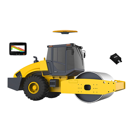
Flexible Adaptation The eMD10 supports various construction techniques such as point tamping, full tamping, etc. It takes into account the design of tamping point and construction without a tamping point. Adaptable to different brands and types of rammers without system limitation. The eMD10 supp......
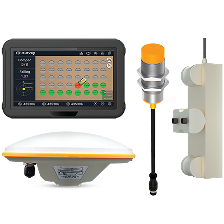
Centimeter-level Accuracy Satisfy all your excavator construction needs; the real-time positioning accuracy can be up to ±3 cm.
Getting More in Less Time Work faster and more efficiently by guiding excavator operations, including improving operation efficiency, reducing auxiliary measurement......
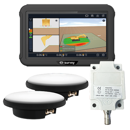
- Real time show compaction condition
Real time show the whole working area compaction condition: compaction pass count, filling thickness, running speed, compaction density, help improve the compaction quality.
- Real time show compaction track and the quality
Real time show the c......
Wireless Connection Achieve connection with the receiver via cable or Bluetooth.
Thermal Protection No longer worry about the effect of temperature on the power, for the TRU35 can adaptively adjust the transmit power, automatically reduce the power when the temperature is too high, and incre......
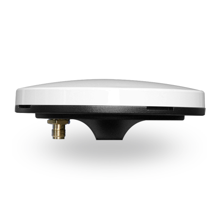
Powerful Satellite Tracking Capacity Obtain all available and reliable data sources, with total channels and all signals (GPS, BDS, GLONASS, GALILEO, IRNSS, QZSS, and SBAS) of GNSS tracking.
High Gain (GPS L1 > 6 dBi, GPS L2 > 5 dBi) No longer worry about the effect of experiencing str......
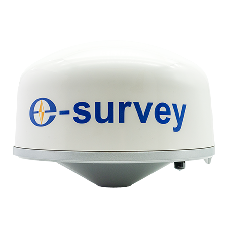
Powerful Satellite Tracking Capacity Obtain all available and reliable data sources, with total channels and all signals (GPS, BDS, GLONASS, GALILEO, IRNSS, QZSS, and SBAS) of GNSS tracking.
High Gain (≤5.5 dBi) Experience strong GNSS satellite tracking ability, and make your measurement wor......
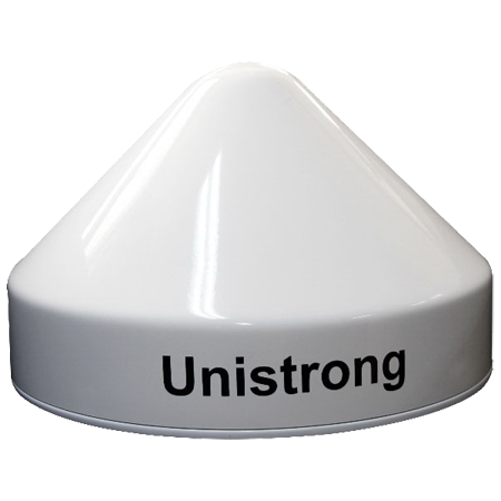
Powerful Satellite Tracking Capacity Obtain all available and reliable data sources, with total channels and all signals (GPS, BDS, GLONASS, GALILEO, IRNSS, QZSS, and SBAS) of GNSS tracking.
Temperature Performance The UA91 works in the range of temperatures from -55℃ to +85℃, and stores in......
Powerful Functions Enjoy the powerful functions, including tilt survey, CAD, line stakeout, road stakeout, GIS data collection, COGO calculation, QR code scanning, FTP transmission, etc.
Abundant Formats for Importing and Exporting Directly import and export files with frequently used f......
Rich Preset Coordinate System Satisfy all your coordinate system needs with many built-in coordinate systems, and customize and export your coordinate system parameters.
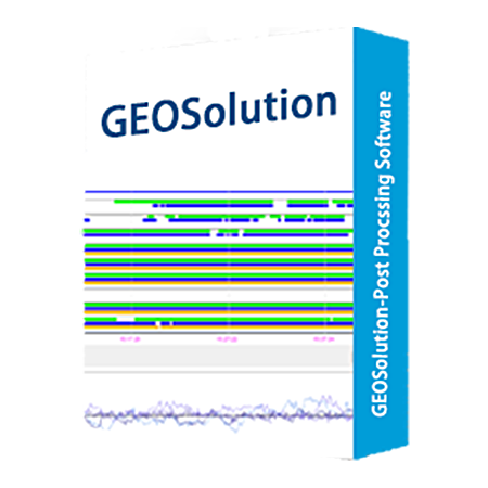
Standard Data Processing Reports Know the accuracy and results of baseline and measurement differential solutions v......
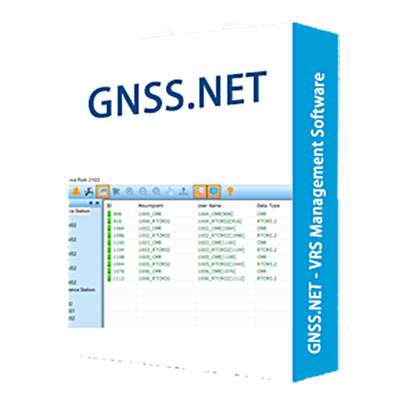
The system includes two parts "GNSS.NET Reference Data Process Center" and "GNSSCaster". The first part software is used to manage reference stations and connect all stations as a network to provide VRS service. The second part software is used to create mountpoints and manage user account.
......
Digital Terrain Modeling,Volumes and Contouring FieldGenius has the ability to create and utilize DTM surfaces from existing survey data or create a DTM in real time as the data is collected. The TIN and contours will automatically update as each new shot is taken.
Powerful Roading Fi......

Digital Terrain Modeling,Volumes and Contouring FieldGenius has the ability to create and utilize DTM surfaces from existing survey data or create a DTM in real time as the data is collected. The TIN and contours will automatically update as each new shot is taken.
Powerful Roading Fi......

 No.8 Kechuang 12 Street, Economy & Technology Zone, Beijing, China.
 overseas@unistrong.com
 +86 400-999-8088 (Press 3)


