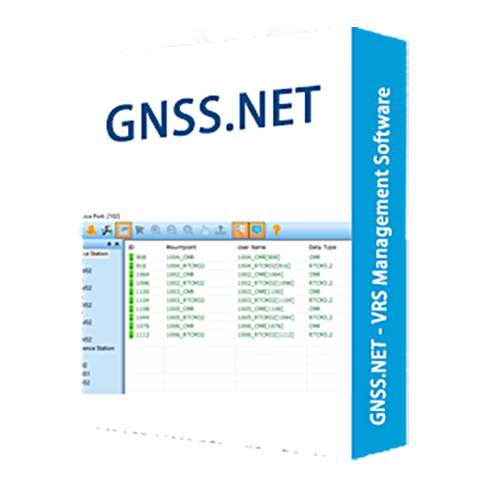
The system includes two parts "GNSS.NET Reference Data Process Center" and "GNSSCaster". The first part software is used to manage reference stations and connect all stations as a network to provide VRS service. The second part software is used to create mountpoints and manage user account.
|
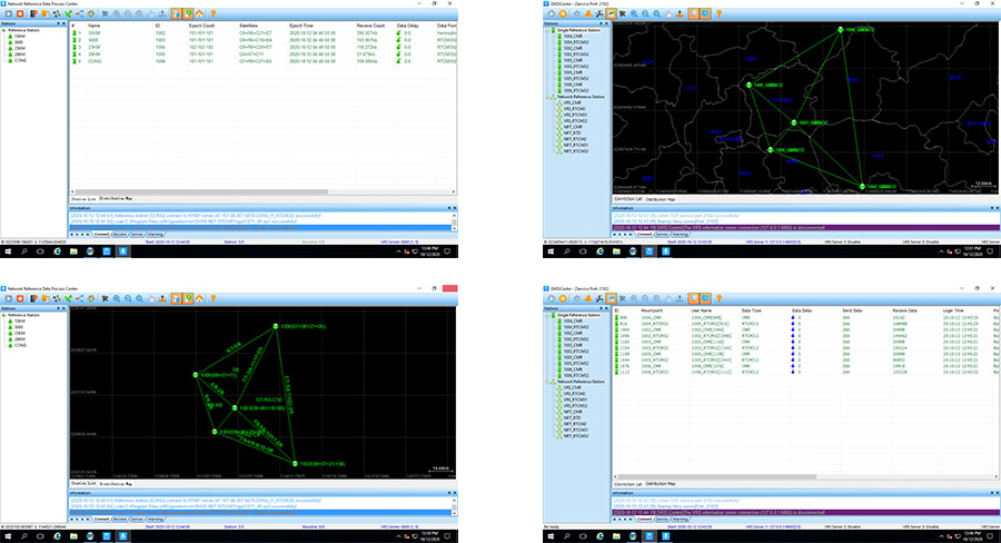
GNSS.NET Reference Data Process Center | |
|
Reference Station Management | |
|
Communication |
Serial port, TCP server, TCP client, Ntrip client |
|
Station Coordinate |
Manual input |
|
Station Coordinate Type |
Geocentric coordinate, Geodetic coordinate |
|
Export Stations |
KML, DAT |
|
Export Configuration |
Support |
|
Station Number |
At least 5 stations, depend on the subscription |
|
System Setting | |
|
Virtual Reference Station |
Support |
|
Nearest Reference Station |
Support |
|
Recording Observation |
Support |
|
Network Configuration Parameter | |
|
Supported Parameters |
Maximum distance between stations Minimum distance between stations Range of physical base station Virtual base station network expansion distance |
|
Data Format | |
|
Supported Constellation |
GPS, BDS, GLONASS, Galileo |
|
Supported Formats |
CMR, RTCM2, RTCM23, RTCM31, RTCM32 MSM4 |
|
Broad Ephemeris |
Support |
|
Precise Ephemeris |
Support |
|
Station View | |
|
Station Satellite Map |
Support |
|
View Stations in List |
Support |
|
View Stations in Map |
Support Support measuring distance |
|
GNSSCaster | |
|
GNSSCaster Function | |
|
User Number |
No limitation |
|
User Authentication |
Support |
|
GGA Track Log |
Support |
|
Coordinate System over RTCM |
RTCM1021~1027 |
|
Coordinate System Parameter |
Ellipsoid parameter Projection parameter Seven parameters Geoid parameters |

 Building B, No.4 Yongjia North Road, Haidian District, Beijing, China
 overseas@unistrong.com
 +86 400-999-8088 (Press 3)


