 Posted by UniStrong
 2022-5-18
 6692
6692
On May 18, GNSS and LBS Association of China (GLAC) released the "2022 White Paper on the Development of China's Satellite Navigation and Location Services Industry" (referred to as the "White Paper") in Beijing.
The white paper shows that in 2021, the overall output value of China's satellite navigation and location services industry with BDS applications as the core will reach 469 billion CNY, an increase of 16.29% over 2020, and continue to maintain a rapid development momentum. Among them, the market of BDS high-precision related products reached 15.19 billion CNY, and the application of BDS high-precision positioning technology in various fields also showed a trend of ubiquity and scale.
As one of the most influential industrial research reports in the GNSS industry, the white paper attracted great attention from all walks of life once it was released. CCTV's "News Live Room", "News 30 minutes", "China News" and other columns have made detailed reports.

The report pointed out that with the opening of BDS-3 global system services, the demand and investment of BDS in various industries have been stimulated. In 2021, China satellite navigation and location service industry will continue to maintain a stable and high-speed growth trend. The report shows that BDS has entered every aspect of society, production and life by introducing the core products and application scenarios in recent years. In an interview with CCTV, Wu Lin, vice president of GNSS and LBS Association of China (GLAC) and deputy general manager of UniStrong, introduced the development of BDS application in the field of precision agriculture.
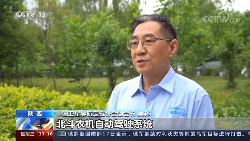
Wu Lin, Vice President of GNSS and LBS Association of China (GLAC) and Deputy General Manager of UniStrong was interviewed by CCTV
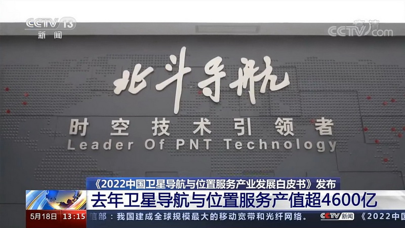
UniStrong GNSS Satellite Navigation Application Show Room
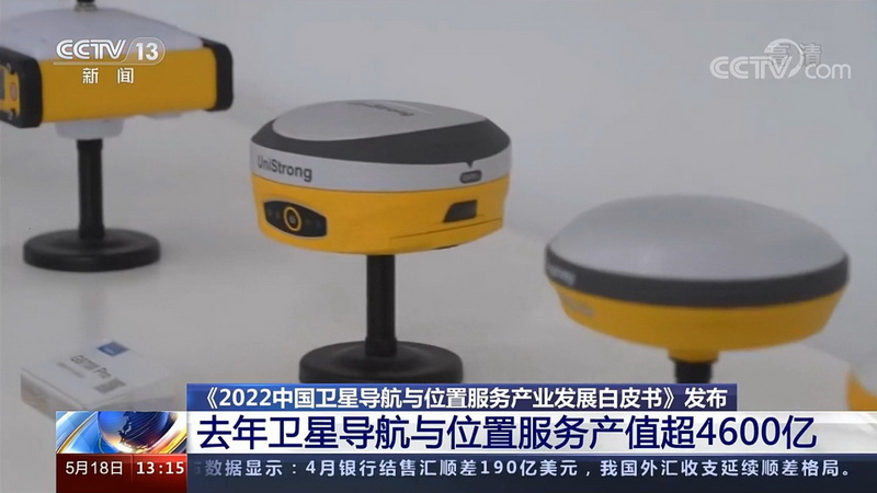
UniStrong RTK Products
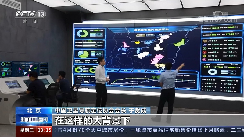
UniStrong Precision Agriculture Big Data Platform
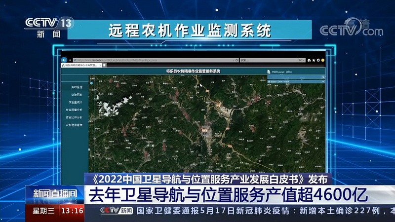
UniStrong Remote Agricultural Operation Monitoring System
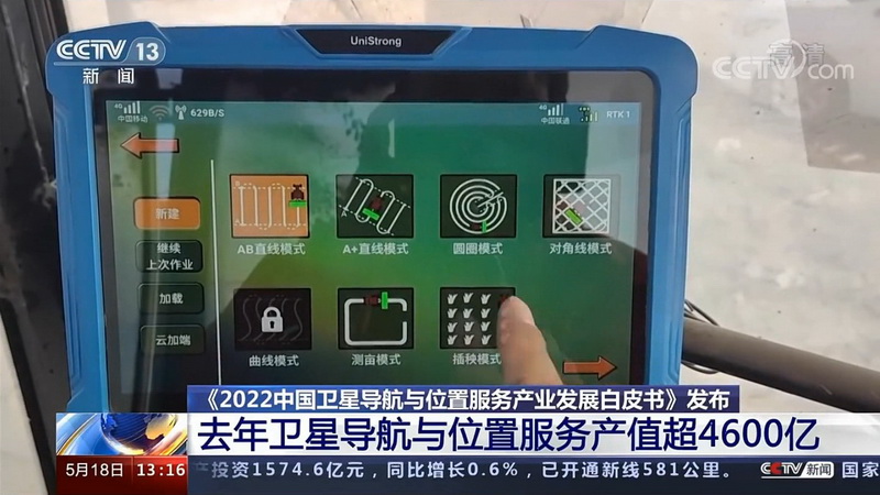
UniStrong HuiNong BDS Agricultural Auto-steering System

A tractor equipped with UniStrong HuiNong BDS Agricultural Auto-steering System
UniStrong high-precision satellite navigation products and solutions have been widely used in surveying and mapping, smart agriculture, digital construction, deformation monitoring and many other industries, generating outstanding economic and social benefits.