 Home / News & Events / UniStrong released the BDS high-precision spatial-temporal management platform for civil aviation airports
 Posted by UniStrong
 2021-5-27
 6319
6319
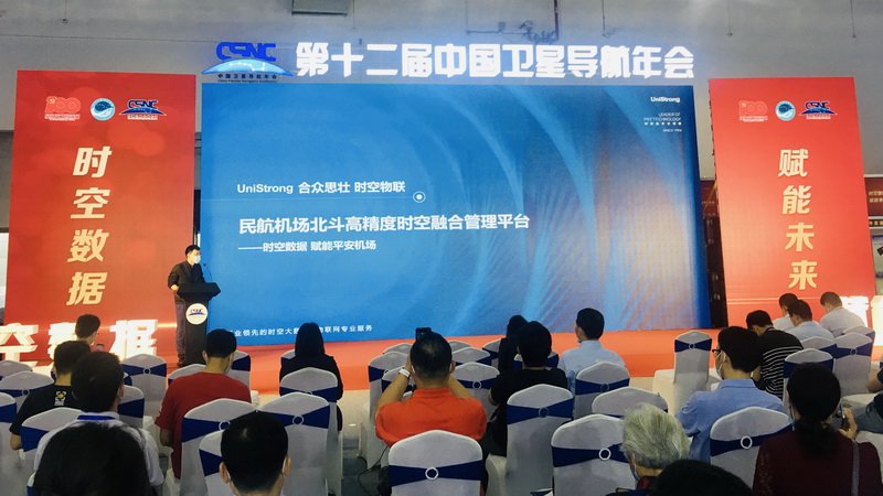
On May 27th, the 12th China Satellite Navigation Conference, with the theme of "Spatial-Temporal Data Empowers Bright Future", continued into its second day at the Nanchang Greenland International Expo Center in Jiangxi province, China. That morning, Beijing UniStrong Science & Technology Co., Ltd. (hereinafter referred to as "UniStrong") officially released the BeiDou high-precision spatial-temporal management platform for civil aviation airports (the "spatial -temporal management platform").
The spatial-temporal management platform is a new generation system created by UniStrong for the proactive safety supervision of aircrafts and vehicles on the apron. The platform innovatively realizes the application of high-precision map & location service, high-precision on-board equipment, high-precision monitoring, and other technologies in airports, creating a typical industry practice of BeiDou+5G and BeiDou+AI.
The spatial-temporal management platform has 3 main characteristics and advantages.
1. Temporal spatial scenario integration: to provide a unified high-precision map service and location service
The spatial-temporal management platform deploys integrated high-precision 2D / 3D electronic maps generated by professional surveying and mapping, fully realizes the precise positioning and professional presentation of the civil aviation professional marking line that meets the ICAO-14 standard, provides airport's digital twin foundation for the monitoring and management of aircraft and vehicles on the apron. The platform is also capable of providing unified map services and location services for all on-site agencies in the airport.
2. Multi-sensor integration: to achieve continuous and reliable positioning in the entire airport area
In order to solve the problem that simple satellite positioning cannot achieve continuous, stable and reliable positioning due to the blocking of buildings and bridges in the airport operating environment, the spatial-temporal management platform adopts the high-precision integrated multi-satellite positioning technology of BDS/GPS/GLONASS (supporting single BeiDou satellite positioning solution), and the deep integration of high-precision satellite positioning RTK algorithm, inertial navigation algorithm and various kind of sensors such as cameras, to achieve a continuous, reliable and high-precision positioning of the targets in the entire airport area.
3. Industry business integration: innovative realization of "body positioning" vehicle operation monitoring system
The spatial-temporal management platform innovatively proposes and realizes the first "body positioning" vehicle operation monitoring system based on cm-level (2.5-5cm) real time positioning accuracy in China. The platform performs precise modeling for more than 30 types of apron vehicles, and synthesizes with the modelling of satellite positioning antenna to create "Precision Vehicle Models", completely relegating the traditional "point positioning" of the low-precision era. At the same time, the system integrates different kinds of sensors such as in-car cameras and front & rear cameras allowing the trajectory monitoring, speed warning, height limit warning, cross-border warning and trajectory playback of various vehicles to enter the "lane-level" era.

Bowen Jin, director of the technical marketing department of Beijing UniStrong TopSci Technology Co., Ltd., a subsidiary of UniStrong, said at the press conference that the platform has a positive significance for optimizing airport resources scheduling capabilities and improving safety management level, and it is becoming a benchmark product for smart airport apron supervision.
At present, UniStrong is actively promoting the application of the spatial-temporal management platform in civil aviation area and will also keep making greater contributions to improve the dynamic safety management capability of airports in the future.

 No.8 Kechuang 12 Street, Economy & Technology Zone, Beijing, China.
 overseas@unistrong.com
 +86 400-999-8088 (Press 3)


